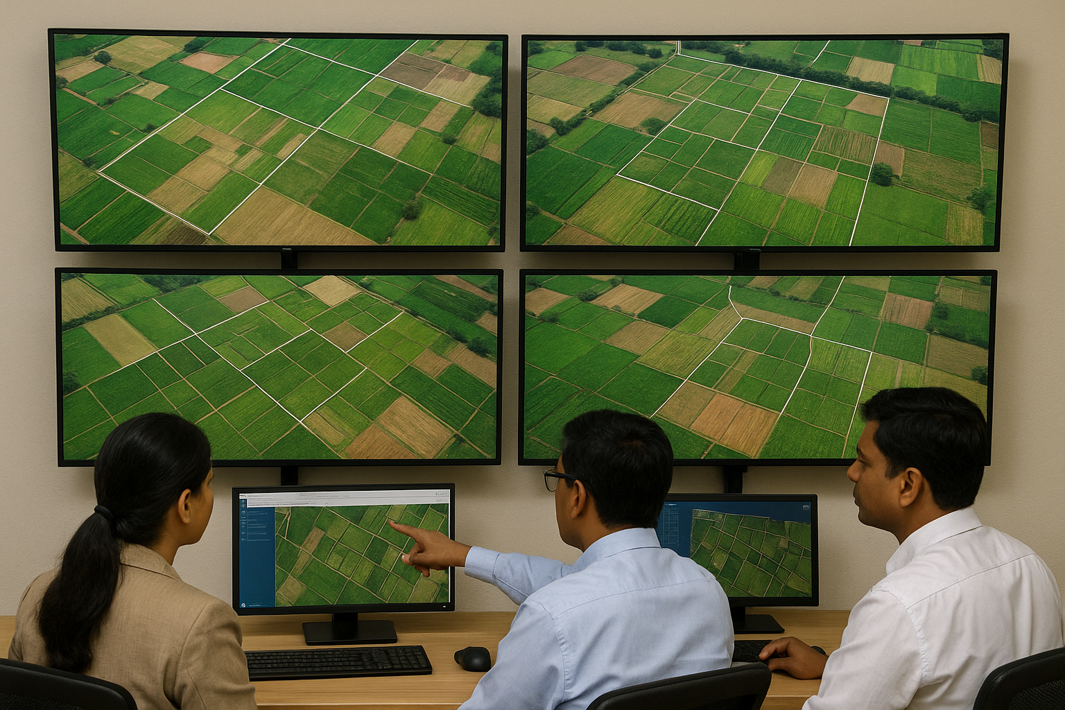
Hyderabad, June 24, 2025: In a bold step toward transforming land governance, the Telangana government has launched a pilot project to conduct drone-based land surveys across five villages. This initiative by the Revenue Department aims to modernize outdated land records, eliminate boundary disputes, and pave the way for a transparent and efficient land management system.
Telangana pilot project for drone-based land survey:
The pilot project is being implemented in select villages across multiple districts, with authorities closely monitoring its outcomes. A full-scale, statewide rollout will be considered after evaluating the pilot’s success.
How Telangana is using drones for land records?
Telangana has faced long-standing challenges with land records, including:
Outdated, inaccurate, or missing records
Frequent boundary disputes among farmers and landowners
Complications in land transactions and ownership transfers
Drone technology offers high-precision aerial mapping, enabling authorities to capture accurate, real-time land data. Officials say this will significantly reduce disputes and improve efficiency in property registration.
How Telangana pilot project for drone-based land survey Works
The process involves:
- Deploying drones to capture high-resolution aerial images
- Mapping village boundaries, individual plots, and government lands
- Digitally updating land records with accurate measurements
- Sharing verified land data with local authorities and the public
Revenue officials have partnered with technology providers to ensure compliance with safety and privacy regulations.
Villages Selected for Pilot Survey
While the government has not disclosed all locations for operational reasons, sources indicate pilot villages span diverse terrains to test technology under varied conditions.
Telangana land dispute resolution with drone technology
- Resolution of land disputes through precise boundary demarcation
- Easier access to updated land records for citizens
- Boost to agricultural investments with clear ownership data
- Improved governance and land revenue collection
Government’s Vision
Speaking on the initiative, a senior Revenue Department official stated:
“This project reflects Telangana’s commitment to leveraging cutting-edge technology for citizen welfare. Transparent land records will protect property rights and unlock economic potential in rural areas.”
After completing the pilot and analyzing data quality, the state government plans to roll out drone surveys across all villages, making Telangana a pioneer in tech-driven land management
With this ambitious project, Telangana joins the ranks of progressive states utilizing drone technology to revolutionize land administration. If successful, the initiative could serve as a model for other regions across India.


1 thought on “Telangana Launches Game-Changing Drone Survey to Modernize Land Records”